Uncategorised
The Wicklow Way
May
The oldest and the most scenic long distance linear walk in Ireland.
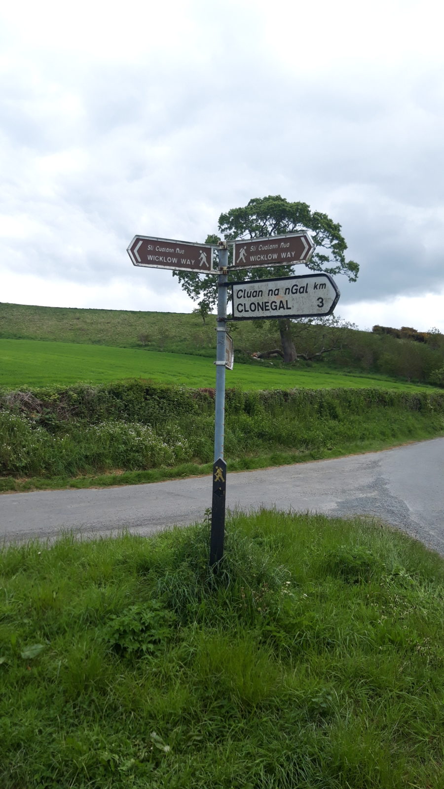
The Wicklow Way is approximately 130km long and crosses the Wicklow Mountains from where it starts at Marley Park in Dublin, to it’s finish in Clonegal in County Carlow. The Wicklow Way is one of the most popular walks in Ireland, and is usually split into 7 sections. There are a variety of accommodation providers along the way, and many walkers spend from one to seven days along this fantastic trail.
Stage 1: Marlay Park – Knockree
Distance 21km
The Wicklow Way starts at the information board near the car park in Marlay Park. From there the ‘yellow man’ points the way to Clonegal some 127km to the south. There are two markers to follow: brown fingerboards and black posts with yellow man & arrow.
Leaving Marlay Park the route takes a busy road for about 2km before entering the forest at Kilmashogue. On entering the forest don’t forget to turn to your right and explore the 5,000-year burial tomb.
The first climb is now underway, as we climb higher, we leave the forest and enter the open mountain along the well-maintained track. Stunning views over the city now open out behind you before we descend to pick up the public in the direction of Glencullen. We turn right as the route tackles the second climb of the day with the tough ascent to Prince William’s Seat. The descent leads to the public road at Curtlestown as we follow a small but busy lane to Knockree forest. A short climb here leads us to our finish point and a short stroll down to Knockree Hostel.
Stage 2: Knockree – Roundwood
Distance: 18.5km
The first two kilometres of the route bring you through beautiful deciduous forests and across the Knockree River. We start our first climb of the day through Crone Woods. As we climb high the track narrows and as you look to south views of Irelands highest waterfall: Powerscourt
Leaving the forest and access the open mountain, the route descends steeply to reach the Glensulan River before the rivers drops dramatically over Powerscourt Waterfall. (there is no access to the waterfall from the Wicklow Way). The climb continues along the stunning open mountain path as we traverse around the summit of Djouce Mountain. As we pick up the boardwalk we remember the plane crash 1946 which occurred just a few 100m to the west.
Stage 3: Roundwood – Glendalough
Distance: 10km
The shortest of all the seven stages but not to be rushed! A long section of country road is rewarded with beautiful mountain trail as we take the first short climb, bringing us to the Brushers Gap Hut, a perfect spot for a picnic. This is one of three huts along the Wicklow Way which were built by ‘Mountain Meitheal’ volunteers.
From here the route brings us out onto the open mountain. Above us, to the west, the Gosan Stones mark the sunrise on the equinox, twice a year. The route descends to the Glenmacnass Valley with an opportunity to exit to the south to reach Laragh Village.
Continuing along the Wicklow Way a short climb provides us with our first views of the renowned Glendalough Valley. The end is near and all downhill as we reach the Glendalough Visitors Centre.
Stage 4: Glendalough – Glenmalure
Distance: 14km
Those who have the time to spare could profitably spend a whole day walking and exploring the Glendalough area as it has much to offer both scenically and historically.
The Wicklow Way crosses the main valley floor, just after the Visitors Centre, via a footbridge over the Glendasan River, and continues up-valley to Poulanass waterfall. Here the trail turns into the Lugduff valley and the start of a 4-5 km uphill trek of 400m to the shoulder of Mullacor (657m), crossing the boggy saddle between it and Lugduff on a boardwalk.
A descent of similar magnitude follows into the Glenmalure Valley. This provides panoramic views up the valley, along Lugduff ridge and then southwest to Art’s Lough, Fraughan Rock Glen and Lugnaquillia (Wicklow’s highest mountain) on the descent to the end of this stage at the Glenmalure Lodge.
Stage 5: Glenmalure – Moyne
Distance: 21km
This is a slightly longer stage of the Wicklow Way that takes the walking route through the southern upland section and into the rolling hills of southwest Wicklow. It finishes with views west to the flatter farmland of County Carlow.
Beginning with an ascending trek through the pleasantly forested slopes of Slieve Maan, the trail reaches (and briefly stays on) the Military Road after yet another 400m ascent over a distance of some 6km. The walking path then circles the upper slopes of Carrickashane (508m) before descending to reach the Ow River valley at the Iron Bridge at approximately 75km from Marlay Park.
Iron Bridge, Aghavannagh, is sometimes used as a stage end. This can either be walked as a short stage from Glenmalure (14km) or a longer stage from Glendalough
Leaving Iron Bridge, a more gradual ascent then takes the trail across Ballyteigue Bridge before slicing south-westwards between Ballygobban mountain (447m) and Sheilstown Hill (536m).
The stage finishes with a quiet road walk southwards to the tiny and once picturesque Georgian hamlet of Moyne at 84km which offers accommodation nearby and a shop at Knockananna, 2km to the west. This point marks the end of the mountain stages as the terrain changes to the quiet, leafy laneways and green roads of the gentle hill-country from here almost to the finish at Clonegal.
Stage 6: Moyne – Shillelagh
Distance: 21km
From Moyne, the Wicklow Way follows an easy walking path round the base of Ballycumber hill and Coolafunshoge to reach (and briefly follow) the busy road from Hacketstown to Tinahely. This makes an ideal stage-end for those who broke the journey at The Iron Bridge.
The colourful array of wild flowers along the hedgerows is a sheer delight from here to Clonegal as each jostles for a maximum share of sunshine.
A leafy green road contours the lower slopes of Muskeagh Hill and onwards to Mullinacuff and Stranakelly cross roads. Here Tallon’s Pub, it’s known to all as ‘The Dying Cow’, provides a perfect excuse for a thirst-slaking pint to celebrate crossing the 100km line at Mullinacuff.
A further 6km brings the Wicklow Way to the busy R725 road to Shillelagh. However, if planning to stay in Shillelagh, a busy road-walk is avoided by remaining on the Way as far as Raheenakit Forest, then taking the minor road via Ballard Cross to reach the village.
Stage 7: Shillelagh – Clonegal
Distance: 19km
This stage of the Wicklow Way is in two sections; the early walk through Raheenakit Forest and around Stokeen, Moylisha and Urelands hills contrasts sharply with the final kilometres along the broad valley of the Derry River, from the Wicklow/Carlow boundary at Wicklow Bridge as we reach Clonegal and the end of the Wicklow way.